-
高德API JS 高德地图获取多个坐标点的中心点
高德API JS 地图获取多个坐标点的中心点
一、需求
我需要:
- 在地图上展示多个地点
- 地图缩放到合适的大小,要求刚好能显示全部点位
- 边缘留有一部分间隔。
做成如图所示这样。


二、需要用到的 AMap 类库
经过一下午的研究,弄出来了。
需要以下这些 AMap 的类库:
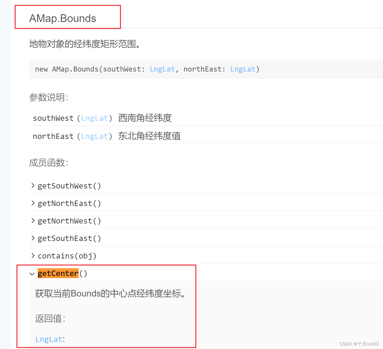
AMap.Bounds()区域AMap.LngLat()点坐标(基础点位)AMap.setBounds()设置地图区域,这会自动移动地图画面到这个区域中
高德地图 API Bounds 的官方文档:
https://lbs.amap.com/api/javascript-api-v2/documentation#bounds
三、实现
比如有这样一个点位数组,需要按上面的要求显示到地图中
[ {"name":"大明湖","position":[117.023666,36.67672],"note":"","type":"","img":""}, {"name":"济南五龙潭","position":[117.014772,36.665984],"note":"","type":"","img":""}, {"name":"济南高新万达","position":[117.128471,36.686068],"note":"","type":"","img":""}, {"name":"济南宜家","position":[116.928408,36.663449],"note":"","type":"","img":""}, {"name":"济南华山风景区","position":[117.070015,36.728507],"note":"","type":"","img":""} ]- 1
- 2
- 3
- 4
- 5
- 6
- 7
- 8
1. 获取这些点中的最值
描述一个区域需要这个区域的对角线上的两个点的坐标值。
就需要找出这些点的最值。
我写了个方法
/** * 获取区域对角线的两点坐标,即这个区域内的最小坐标值和最大坐标值 * * @param pointerArray [[a,b],[c,d]] * @return Array {min:number[a,b], max:number[c,d]} */ getMaxBoundsPointer(pointerArray){ let lngArray = pointerArray.map(item => item[0]) let latArray = pointerArray.map(item => item[1]) return { min: [Math.min(...lngArray), Math.min(...latArray)], max: [Math.max(...lngArray), Math.max(...latArray)], } },- 1
- 2
- 3
- 4
- 5
- 6
- 7
- 8
- 9
- 10
- 11
- 12
- 13
- 14
- 15
- 16
它接收的是这些点位的数组,格式是
[[a,b],[c,d]],如下即可。let maxLocations = this.getMaxBoundsPointer(pointer.pointerArray.map(item => item.position))- 1
获取到的结果如下:

2. 计算合适的地图边界距离
当显示这些点的时候,如果你使用上面的区域,就会发现有些点跑到了地图的最边缘。
这不是我们想要的,所以需要给它加一个边界值。注意:
合适的边界距离并不是一个定值,因为这些点的距离是不定的,有些可能是几百米,有些可能是几十公里。
以上只是一个点位集合的展示,而我还需要它适配其它一些点位集合,这些集合的距离间隔不定。所以我们需要用计算出来的
maxLocations来计算这个区域的长宽值,然后再取它的1/4作为边界,显示的就会比较合理。// 取区间的 1/4 作为地图的边界 let lngGap = (maxLocations.max[0] - maxLocations.min[0]) / 4 let latGap = (maxLocations.max[1] - maxLocations.min[1]) / 4- 1
- 2
- 3
3. 计算新的区域值
新的区域值需要在原来极点坐标的基础之上,加上前一步计算出来的边界值。
// 新的区域极点坐标 let min = new AMap.LngLat(maxLocations.min[0] - lngGap, maxLocations.min[1] - latGap) let max = new AMap.LngLat(maxLocations.max[0] + lngGap, maxLocations.max[1] + latGap)- 1
- 2
- 3
4. 设置地图的 Bounds
设置地图的 Bounds。
- 当点位数组数量多于一个点时,就按上面的方法获取区域值,并设置它
AMap.setBounds() - 当点位数组数量是一个点时,就把这个点作为地图的中心点,通过
AMap.setCenter()来设置中心点 - 当点位数量为 0 时,不处理
// 1. 多个点时,设置 bounds if (pointer.pointerArray.length > 1){ let bounds = new AMap.Bounds(min, max) this.map.setBounds(bounds) } // 2. 一个点时,将其作为中心点 else if (pointer.pointerArray.length === 1){ console.log(pointer.pointerArray) let centerLngLat = new AMap.LngLat(...pointer.pointerArray[0].position) this.map.setCenter(centerLngLat) // 设置地图中心点坐标 } // 3. else { }- 1
- 2
- 3
- 4
- 5
- 6
- 7
- 8
- 9
- 10
- 11
- 12
- 13
- 14
- 15
四、完活儿
成品示例:
https://kylebing.cn/tools/map/#/pointer/pointer-viewer

-
相关阅读:
2341. 数组能形成多少数对-数据统计
UI 自动化测试 —— selenium的简单介绍和使用
去除angular中blob图片显示报unsafe的错误提示
go-zero单体服务使用泛型简化注册Handler路由
【JavaWeb】模板引擎Thymeleaf
MySQL 表的约束
Java:SpringBoot实现JDK动态代理和CGLIB动态代理
Python mysql 封装备用
【算法题】反转链表(头插法、C++实现、力扣第206题、剑指offer第24题)
YOLOv7 改进原创 HFAMPAN 结构,信息高阶特征对齐融合和注入,全局融合多级特征,将全局信息注入更高级别
- 原文地址:https://blog.csdn.net/KimBing/article/details/130991747
