-
uniapp+地图 实现目的地导航
uniapp小程序实现导航功能,以下是效果图
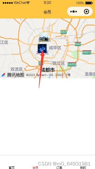
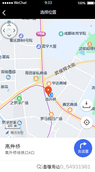
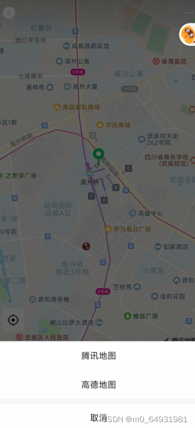
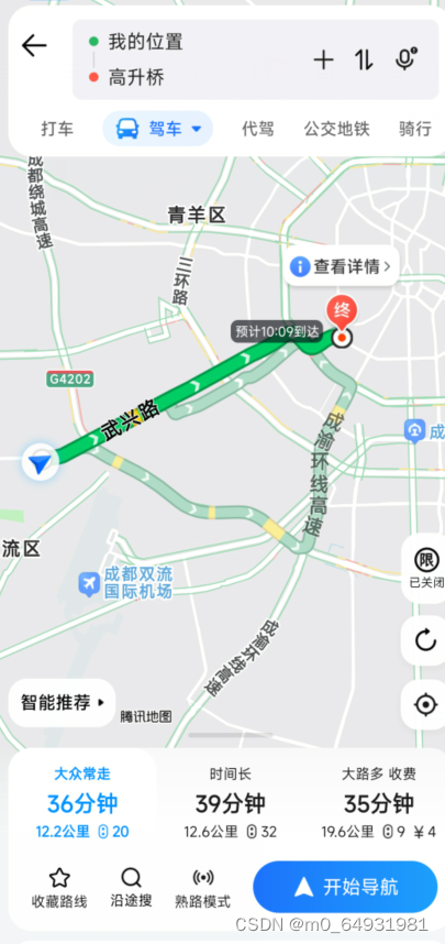
代码标注如图所示,配置的话,请参考上一篇文章uniapp+腾讯地图定位获取位置信息
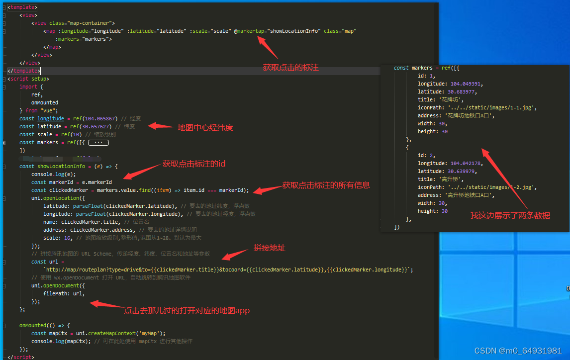
代码附上
- <template>
- <view>
- <view class="map-container">
- <map :longitude="longitude" :latitude="latitude" :scale="scale" @markertap="showLocationInfo" class="map"
- :markers="markers">
- </map>
- </view>
- </view>
- </template>
- <script setup>
- import {
- ref,
- onMounted
- } from "vue";
- const longitude = ref(104.065867) // 经度
- const latitude = ref(30.657627) // 纬度
- const scale = ref(10) // 缩放级别
- const markers = ref([{
- id: 1,
- longitude: 104.049391,
- latitude: 30.683977,
- title: '花牌坊',
- iconPath: '../../static/images/1-1.jpg',
- address: '花牌坊地铁口A口',
- width: 30,
- height: 30
- },
- {
- id: 2,
- longitude: 104.042178,
- latitude: 30.639979,
- title: '高升桥',
- iconPath: '../../static/images/1-2.jpg',
- address: '高升桥地铁口A口',
- width: 30,
- height: 30
- },
- ])
- const showInfo = ref(false)
- const showLocationInfo = (e) => {
- console.log(e);
- const markerId = e.markerId
- const clickedMarker = markers.value.find((item) => item.id === markerId);
- uni.openLocation({
- latitude: parseFloat(clickedMarker.latitude), // 要去的地址经度,浮点数
- longitude: parseFloat(clickedMarker.longitude), // 要去的地址纬度,浮点数
- name: clickedMarker.title, // 位置名
- address: clickedMarker.address, // 要去的地址详情说明
- scale: 16, // 地图缩放级别,整形值,范围从1~28。默认为最大
- });
- // 拼接腾讯地图的 URL Scheme,传递经度、纬度、位置名和地址等参数
- const url = `http://map/routeplan?type=drive&to={{clickedMarker.title}}&tocoord=30.683977,104.049391`;
- // 使用 wx.openDocument 打开 URL,自动跳转到腾讯地图软件
- uni.openDocument({
- filePath: url,
- });
- };
- onMounted(() => {
- const mapCtx = uni.createMapContext('myMap');
- console.log(mapCtx); // 可在此处使用 mapCtx 进行其他操作
- });
- </script>
- <style>
- .map {
- width: 100%;
- height: 200px;
- }
- </style>
希望可以有帮助
-
相关阅读:
【目标检测】Visdrone数据集和CARPK数据集预处理
【HBZ分享】云数据库如何定位慢查询
C进阶---自定义类型:结构体、枚举、联合
logging日志及其使用代码
Baklib知识分享|企业产品需求文档的特点
MongoDB中的分布式集群架构
2016 ZCTF note3:一种新解法
【车载测试收徒】【UDS诊断中的协议:ISO-14229中文】
2、计算机图形学——视图变换
@Async可以和@Transactional结合使用吗?
- 原文地址:https://blog.csdn.net/m0_64931981/article/details/132634677
